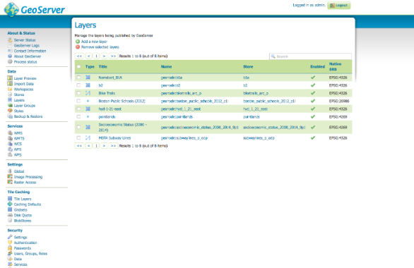
Download GeoServer Free for Windows – People need to download GeoServer if they want to serve data and map from different kinds of formats to desktop GIS programs or web browsers. One of the things to like about the app is its ability to connect to different data sources within the back end as well as a handy interface of browser-based management. You will likely find out that the app is super useful and helpful.

Download GeoServer with Features
1. Various Data Sources Server Data – GeoServer
As it was mentioned before, you can gain data and maps from different kinds of formats and also data sources. For Raster, you can deal with Image Mosaic, NetCDF, Oracle GeoRaster, png or jpg, GDAL formats, GeoTiff, and Image Pyramid. For Vector, you can deal with MySql, DB2, SQL Server, PostGIS, Oracle Spatial, Shapefiles, ArcSDE, and External WFS. All of these will make the operation convenient.
2. Safe Data
The data would be published through the (standard-based) interfaces, like WPS, WCS, Tile Caching, WFS, and WMS. You also need to remember that when you download GeoServer, your data would be served as an image, which will ensure its security and safety. What about the stolen data issue? It won’t happen unless the mischievous people re-digitize it.
Moreover, each map layer’s appearance is easily controlled by using SLD Standard, allowing features to come as labeled and colored. Can you zoom in? Absolutely! Thanks to OGC scale Dependent Filters, you can enjoy more details.
2. Easy Data Transfer with GeoServer
No need to worry about data transfer mechanisms or operations. GIS clients are able to ask for the actual raster data so they can perform spatial analysis. As a result, they can create applications that are able to model the process which is described by the data. Moreover, WFS clients are free to download vector data for spatial analysis, mapping, and other activities. When allowed, the users can get authorization to modify the data and then sent it to the server again for an improved update.
3. Tiling Cache
GeoServer is integrated into GeoWebCache, and it is responsible for tiling and caching map images – generally from various sources, like WMS. It can do different service interface activities (like Virtual Earth, Google Maps KML, TMS, WMTS, or WMS-C) so it can optimize and also accelerate image delivery. Another handy use of the app is to recombine tiles so it is able to work well with regular and common WMS clients.
4. Web Processing Ability – GeoServer
You can ‘call’ the geospatial algorithm through the WPS interface. It also includes process chains. You can also use the rendering transformations to make powerful and visually solid images via the WMS Interface system.
More Features of GeoServer
Of course, there are more features to enjoy from this app, such as:
- Simple features, especially for SQL
- Web Coverage Service
- Web Map Service
- Styled Layer Descriptor
- Filter Encoding
- Georeferenced (Tagged) Image File Format
- Keyhole Markup Language
- Web Catalogue Service
- And so much more
Conclusion
In the end, you may need some time to get used to the app. But it can be super handy, and you will enjoy its many beneficial features. If you want to enjoy better easiness, you should seriously download GeoServer for better operation.
Detail Software GeoServer
Support For Windows:
Windows 10 / 8.1 / 8 / 7 / Vista / XP SP3 (32 bit)
Windows 10 / 8.1 / 8 / 7 (64 bit)
Download GeoServer Free Latest Version for Windows – Download